| Photorealistic Still Rendering | Marketing images and design presentations | 4K to 8K raster images; PNG, TIFF, or JPEG | Physically based materials, calibrated lighting, high-dynamic-range environment maps | Residential, commercial, hospitality, and public-realm proposals | Accurate geometry, natural shadows, material realism, and consistent scale |
| Architectural Animation | Narrated or cinematic project walkthrough | 1920×1080 or 3840×2160; 24, 25, or 30 frames per second | Keyframe or path animation, motion blur, synchronized editing and sound | Planning approvals, investor presentations, launch campaigns, and public consultation | Stable camera movement, readable spatial sequence, and smooth frame pacing |
| 360° Virtual Tour | Interactive panoramic exploration | Equirectangular projection with a 2:1 width-to-height ratio | Panoramic nodes, hotspot navigation, web delivery, and device-responsive viewing | Sales centers, interior design, real-estate marketing, and remote project reviews | Low stitching distortion, clear hotspots, correct horizon, and fast loading |
| Real-Time Interactive Visualization | Navigable 3D environment with live options | Interactive desktop, browser, or on-site application | Real-time physically based rendering, level-of-detail control, and asset optimization | Design reviews, stakeholder workshops, configuration tools, and sales experiences | Responsive navigation, stable frame rate, accurate options, and short interaction latency |
| Virtual Reality Presentation | Immersive scale-based project review | Stereoscopic headset experience with tracked viewpoint | Room-scale or seated interaction, spatial audio, optimized geometry, and collision control | Safety reviews, accessibility studies, interiors, and client immersion sessions | Comfortable navigation, correct human scale, stable tracking, and minimal motion discomfort |
| BIM-to-Visualization Conversion | Visual outputs derived from coordinated building information | Structured 3D model plus rendered images, animation, or interactive scenes | Model import, data mapping, material replacement, camera setup, and revision tracking | Large multidisciplinary projects and visualization updates during design development | Model fidelity, revision consistency, element naming, and reduced manual rework |
| Augmented Reality Overlay | Digital design aligned with a physical site or model | Mobile or wearable overlay with tracked spatial alignment | Spatial anchoring, scale calibration, occlusion handling, and lightweight 3D assets | Construction coordination, site communication, and design option comparison | Accurate registration, readable overlays, reliable tracking, and clear user controls |
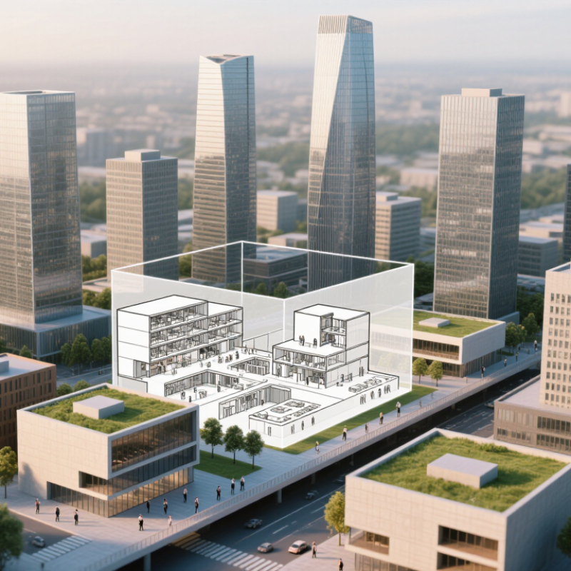
| Aerial and Urban Context Visualization | Building integration within its wider surroundings | Large-format stills, aerial sequences, maps, or contextual animations | Georeferenced context, terrain modeling, atmospheric perspective, and consistent sun position | Master planning, urban design, environmental review, and infrastructure proposals | Correct site relationships, terrain accuracy, scale consistency, and credible lighting |